Welcome to the new Amma.org
We’ve merged the Amrita World and Embracing the World websites into this new site.
Through her extraordinary acts of love and compassion, Amma has endeared herself to millions and inspired thousands to follow in her path of selfless service.
Amma’s life story, from early childhood to the present day
Amma has embraced over 40 million people worldwide
Amma has been internationally recognized for her work, wisdom, and example
We are a global network of volunteer-run nonprofit organizations, led and inspired by Amma.
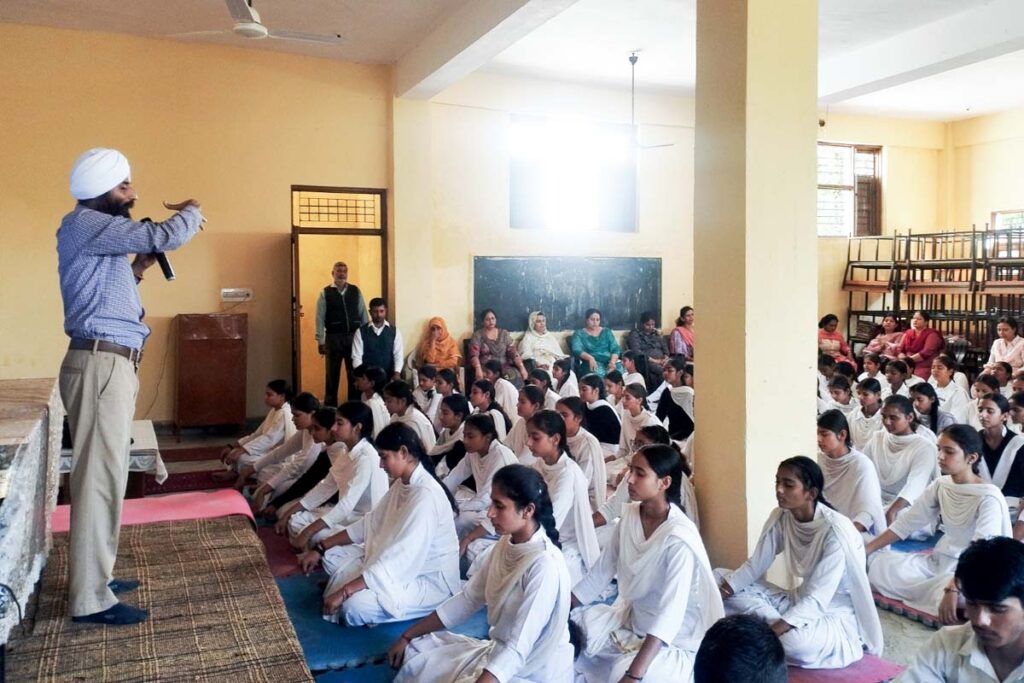
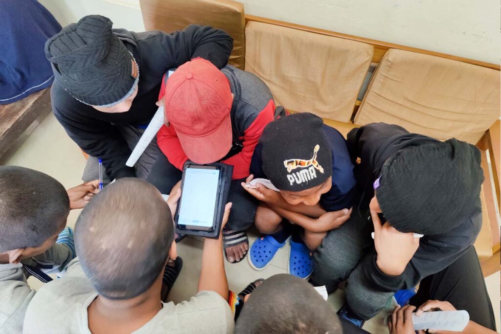
Equal access to high-quality, values-based education
Working toward the restoration of nature’s delicate balance
Harnessing technology to improve the lives of people in poverty
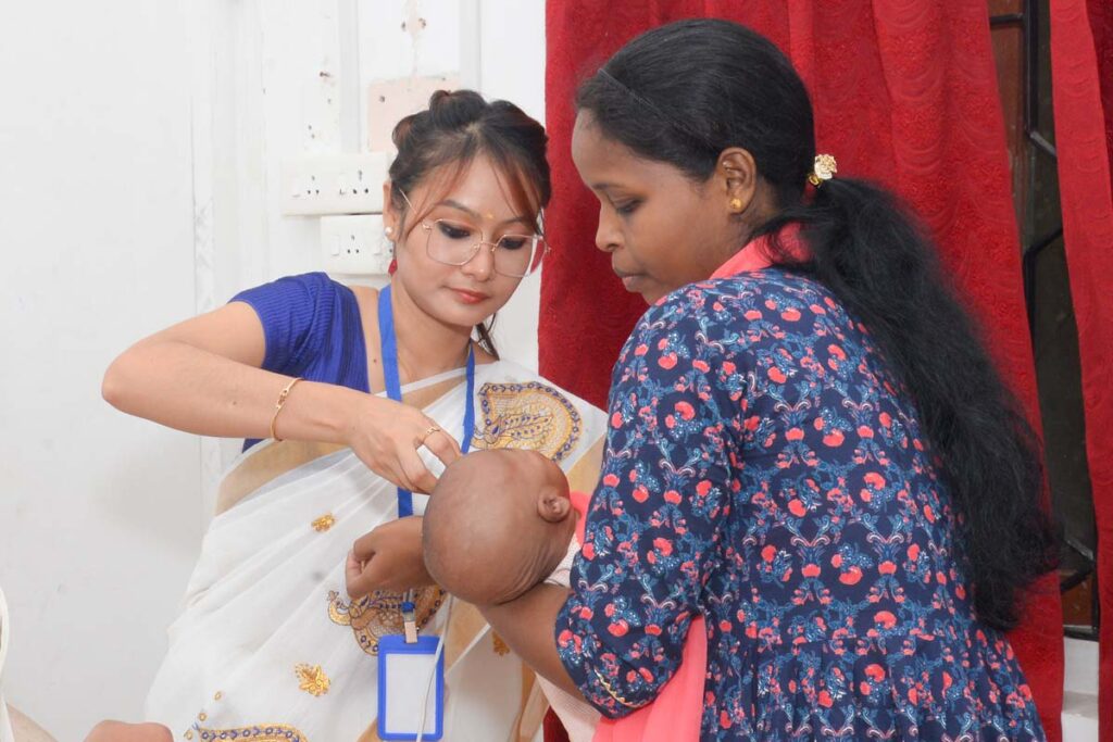
High-quality, compassionate healthcare for all
Supporting survivors with crisis response and holistic long-term aid
Reducing barriers to the social, emotional and economic empowerment of women
Supporting Amma’s dream that everyone should sleep without fear and eat to their fill
Amma’s advice for personal fulfillment and global harmony
Amma’s practices to help us attain more peace and happiness
All are welcome at Amma’s groups and centres around the world
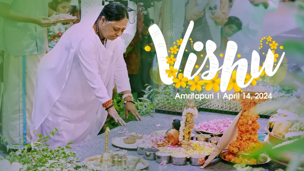
The headquarters of Amma’s spiritual and humanitarian global network
Empowering the next generation of compassionate leaders
Our conservation movement, dedicated to caring for nature as part of our daily lives
Amma offers us the possibility to connect online with her on a daily basis. During these livestreams, we can meditate with Amma, chant bhajans (devotional singing) and hear spiritual teachings.
Registration is required to access these livestreams: